UvA drones are now allowed to fly almost anywhere
16 September 2020
The university was granted the so-called ROC, a certificate that vastly expands its authorisation for the use of drones. The permit was requested by Faculty of Humanities researchers but applies to the UvA as a whole.
Applicant Jitte Waagen, ACASA archaeologist and coordinator of the 4D Research Lab, is excited about the new certificate. ‘This certificate is the highest permit when it comes to working with drones. Only around 120 of these exist in the Netherlands. For recreational drone flyers, a significant part of the Dutch airspace is off limits, but we have now been granted exemption for most areas. The certificate also makes it easier to get permits in other countries. Furthermore, our drones are now allowed to fly at a higher altitude and we are allowed to use heavier – and, thus, more advanced – equipment. This makes us a lot more powerful.’
Flying 3D scanner
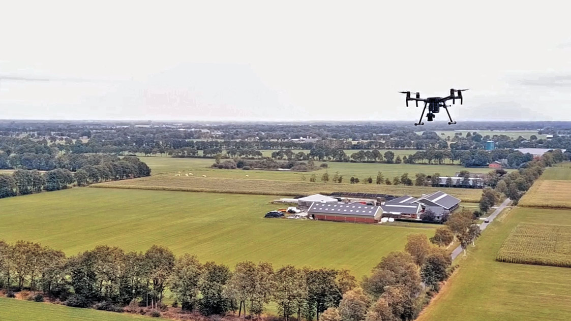
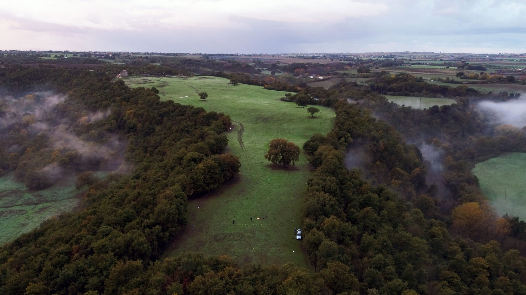
Drones open up a lot of new opportunities for researchers. ‘We can equip the drones with all sorts of ‘eyes’ on the bottom,’ explains Waagen. ‘Think of things like lasers and thermal cameras, but also regular photo cameras. By combining these with photogrammetrical software, we can turn the drone into a sort of flying 3D scanner. Because drones fly at relatively low altitudes, they can be used to capture images with a far higher resolution than those taken from, for instance, an airplane or a satellite. By using drones, we are able to capture architecture, infrastructure and landscapes with a high level of detail, wherever and whenever we want to do so.’

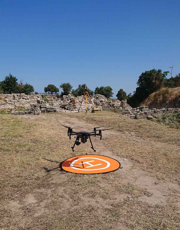
To illustrate this, Waagen mentions the archaeological research at the site of Troy (Turkey), where a drone equipped with thermal cameras was used to trace underground walls. Thanks to the permit, research in our own city is now also possible, in which historical buildings can be photographed with incredible detail by drones and then turned into a 3D model. There are also plenty of opportunities for the use of drones in other fields, though: biologists can, for instance, use drones to canvas the populations and movement of wild animals.
Unique in the humanities
The permit is extra special because it is usually only granted to businesses or to technical universities that are researching the drones themselves. No other humanities faculty in the Netherlands has similar possibilities when it comes to drones. The permit thus underlines the strong presence of Digital Humanities at the UvA.
Waagen explains that not just anyone can become certified drone operator. ‘Among others, I had to submit a huge volume of work describing all of our procedures and safety regulations when it comes to the use of drones. It was more than worth the effort, though.’ The permit was granted by the Human Environment and Transport Inspectorate (Dutch: Inspectie Leefomgeving en Transport; ILT), which is part of the Ministry of Infrastructure and Water Management.